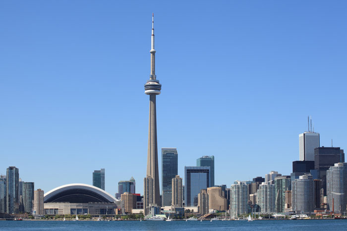
by IBW Surveyors | June 30, 2018
City of Toronto Basement Flooding Survey for Pre-Engineering Project Overview Massive Complex Linear Streetscape Topo Covered Approximately 48km Of Public Right of Ways High Standards Set of Deliverables Used for Pre-Engineering, Including Alignments, Traverse...
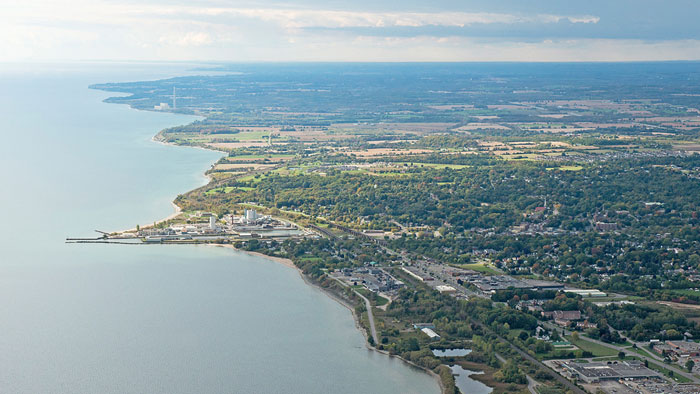
by IBW Surveyors | June 29, 2018
PORT HOPE AREA INITIATIVE Road Allowance Survey (4-4546 PHAI) Project Overview Identify All Visible Topographic Features 174 Property Surveys Identify the Existence of Right of Ways Re-Establish Boundaries of Portions of Municipal Roads and Right-of-Way Coordinate and...
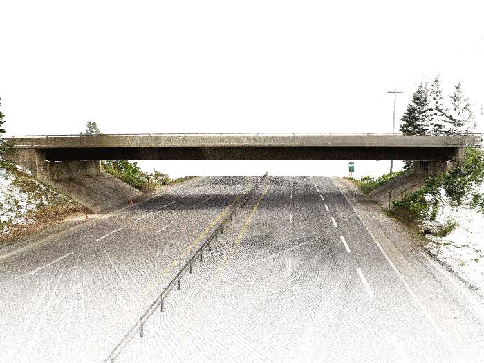
by IBW Surveyors | June 26, 2018
Bridge Topographic Survey Project Overview Combination of Traditional Surveying Techniques and Laser Scanning Identify All Visible Topographic Features Above Ground Provide Plan in MTO Standards Generate Surface Model & Contours Generate 3D Linework Provide...
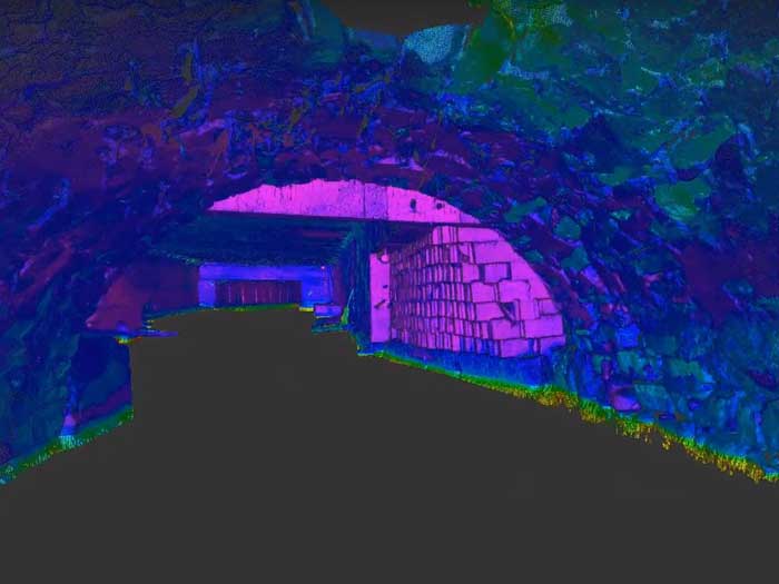
by IBW Surveyors | June 25, 2018
Culvert Topographic Survey Project Overview This project was a great combination of traditional surveying techniques and laser scanning. Identify All Visible Topographic Features Above Ground Generate Surface Model & Contours Create Culvert Profile Establish...
by IBW Surveyors | June 22, 2018
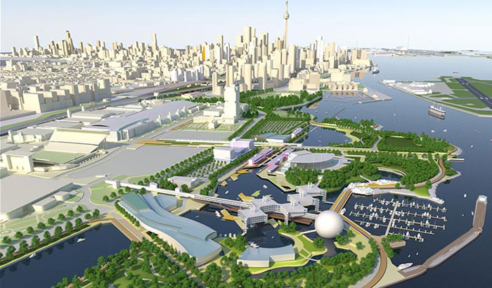
Ontario Place Pre-Engineering Survey Project Overview Identify and Establish Complex Boundary Legal and Topographic Survey of Approximately 100 Acres Coordinate and Map Underground Utility Locate Meet Extremely Tight Deadlines Survey Approximately 100 Acres Ontario...


