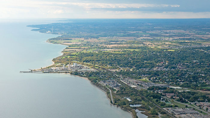
PORT HOPE AREA INITIATIVE
Road Allowance Survey (4-4546 PHAI)Project Overview
Identify All Visible Topographic Features
174 Property Surveys
Identify the Existence of Right of Ways
Re-Establish Boundaries of Portions of Municipal Roads and Right-of-Way
Coordinate and Map Underground Utility Locate

Port Hope Area Initiative (Reference: http://www.phai.ca/)
