GTA Topographic Survey
Project Overview
Identify All Visible Topographic Features
Generate Surface Models in any CAD Format Including InRoads and AutoCAD Civil 3D
Identify any Easements, Right Of Ways or Other Potential Title Issues That May Affect Design
Establish Boundary Limits

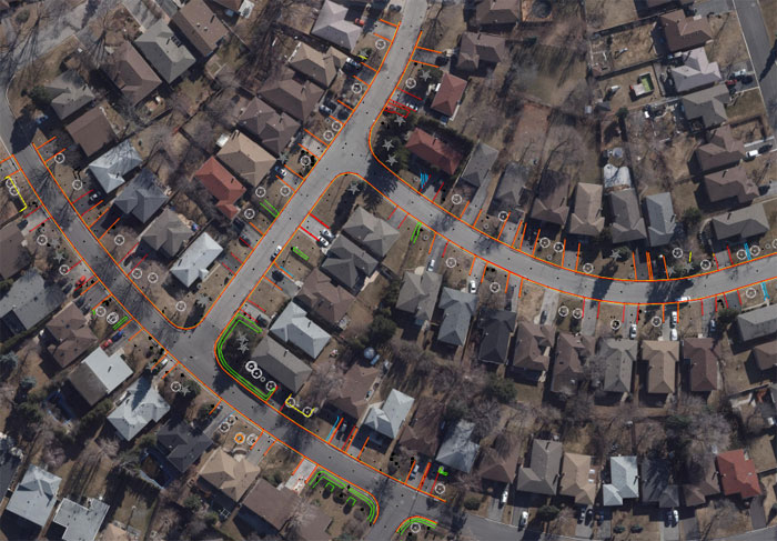
GTA Topographic Survey – Aerial Image overlaid by CAD linework.
